
How to Search Winfield Property Records
Putnam County, not the city, keeps Winfield property records. Begin at WV Property Assessment with an address or owner name. The assessor's district field can flag a parcel in 13-Winfield Corp. Map and parcel fields then narrow the result to one tract. Take that identifier to the County Clerk for a deed or plat, and check the current tax ticket through the Sheriff Tax Division. County GIS maps the parcel on screen. Permits and planning records stay with the city, separate from county files. Keep those contacts straight when you request documents.
- Search the county assessment portal by the Winfield street address or owner and note the district, map and parcel values.
- Search Putnam Clerk land records by owner names and legal description to follow the transfer history.
- Check the tax bill or receipt for the relevant year with the Sheriff Tax Division; assessment and billing dates do not necessarily follow a closing date.
- Open the parcel in GIS or the statewide Viewer and use roads and aerial layers to orient yourself, not to certify a boundary.
- Contact Winfield for city permits and county Planning for county land-use questions; town sewer signoff can also apply to a project.
The county's Putnam property search walkthrough explains each assessment field, and the parcel map guide covers the county's parcel key and map limits. Both connect back to the county home page. Its office directory holds the full contact list.
Where Winfield Property Records Are Kept
Each record type sits with a different office. The County Clerk holds deeds and plats. The Assessor keeps the property roll. The Sheriff Tax Division handles bills and receipts, and county GIS supplies map information. Winfield runs its own permitting for construction and property work, while Putnam County Planning and Infrastructure covers county planning functions, and a town sewer approval may also apply to a city project. These offices serve different legal roles. So send a permit-history question to Winfield, and take a deed or tax-roll question to the county office that maintains it.
Putnam County Records (deeds, taxes, parcels)
County offices maintain Winfield deeds, assessment and tax records, with GIS and state tools supplying map views.
Winfield Permits & Zoning
Winfield City Hall (confirm current street address before a visit)
Winfield, WV 25213
304-586-2122
Winfield Neighborhoods and Subdivisions in the Records
No subdivision names or plat eras are documented for Winfield. That leaves road names as the practical anchors. A road name is not a subdivision, though. It cannot replace a recorded lot description. When an instrument names a plat, copy the exact spelling, lot and block shown in the deed or filed map. Ask the Clerk for the referenced plat if it is not online. That keeps an unofficial development name out of your records.
| Neighborhood / Subdivision | Era | In the Records |
|---|---|---|
| 13-Winfield Corp district | District-era dates not verified | County assessment district identifier; pair it with map and parcel. |
| Winfield Road corridor | Street-era dates not verified | Road reference used to orient an address search; not a plat name. |
| Wall Street area | Street-era dates not verified | Local street clue; confirm lot description from deed and recorded plat. |
A Winfield street clue finds the assessor row fast. The county parcel key confirms it, and so does the deed's legal description. Trust those over the street name. The Putnam County parcel maps page explains how GIS and CAMA identifiers differ, and why deeded acreage carries more weight than a calculated map area.
Winfield Property Records and County-Seat Offices
Winfield's county-seat role puts city and county offices in the same community. Their records are not interchangeable. The Clerk's deed index is a county land-record source. The Assessor's parcel row is a county tax record. City Hall handles municipal services and permit matters, while Putnam County Planning and Infrastructure plays a separate county role. When you ask for a historic file, name the office and the record type. A general “courthouse” question invites confusion. It may route a city permit inquiry to the Clerk, or a deed request to City Hall.
Winfield Property Records and E911 Address Changes
A 2014 E911 address update reshaped local addresses. Older deeds, utility entries and permit files can now look disconnected from the assessor's current address. Search both the present street address and any older address on a prior instrument. Then compare parcel number, owner names and legal description. Only then decide whether two results are separate properties. Road names and address formats are clues; the map and instrument history tell you whether the underlying parcel is the same.
What if an office cannot locate a record from the modern address? Give the approximate year and former address. Add the deed book and page if known, plus the parcel ID. That E911 clue often unlocks older civic records.
Winfield Property Records and City Permit Scope
Winfield's forms page covers city permits for construction, remodeling, demolition, electrical and mechanical work. Painting and homeowner repairs need no city permit. The forms page is an application route. It is not a searchable permit database. Confirm forms, fees and inspection rules with the city first.
For an older project, ask the city directly. Request a search by address, parcel, applicant and approximate work date. A form found online does not show whether an application was filed. It does not reveal approval, inspection or closure either. Keep the final inspection or certificate with the property's own file when available.
Winfield lists its current city forms and permit materials here: open Winfield city forms.
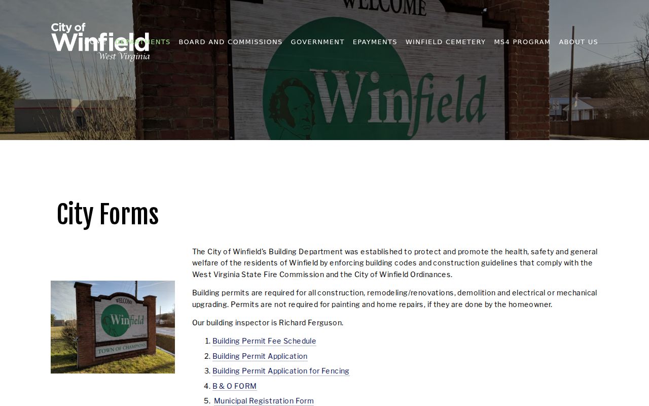
Keep the city-confirmed permit and inspection record on file.
Winfield Property Records and County Planning
Putnam County Planning and Infrastructure sits at 12093 Winfield Road, Room 226. The office answers the phone at 304-586-0237. Keep this office separate from the municipal permit contact. The county planning authority does not cover Hurricane. Winfield parcels, though, can still raise county planning questions depending on jurisdiction. Before filing any application, ask which authority governs the project. A planning file adds land-use context. It never substitutes for a recorded deed or a parcel survey.
Winfield Property Records and Sewer Approval
Some Winfield projects need town sewer approval on top of a building permit. The utility connection is its own administrative record. It stands apart from the deed, assessor roll and tax bill. A property can show up in county records. Those records may say nothing about a proposed connection. Ask the city or sewer authority about the parcel's service status and project requirements. Keep any approval letter or connection paperwork with the property file.
A Winfield sewer-only utility reference appears among utility listings. That entry is only a reminder of one thing. A utility listing proves nothing about water service, city limit status or permit completion. Confirm each question with the provider responsible for that service.
Winfield Property Records and Population Context
The 2020 Census counted 2,393 residents in Winfield. That figure describes the incorporated place at that moment. It says nothing about current housing stock, land values or parcel counts. The Census roster helps keep Winfield distinct from the wider county. County GIS and assessment systems supply parcel-level context. Never treat a population statistic as proof that a neighborhood appreciated. It cannot prove that a home commands a certain price.
The incorporated-place table is the source for the 2020 population context: view the West Virginia Census table.
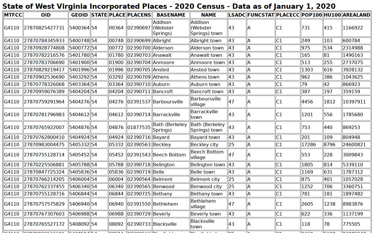
For answers about a specific Winfield property, use the parcel map together with its assessment district.
Winfield Property Records and Municipality Context
Putnam County's municipality roster helps separate Winfield from unincorporated places across the county. The roster is a jurisdiction reference only. It does not list every parcel or settle a disputed boundary. Pair it with the assessor's 13-Winfield Corp district field. Add the legal description and a current city boundary source too. County assessment data also carries other districts and city corporation districts. Two similar address labels can still point to different tax locations.
Putnam County maintains its municipality reference page here: view the county municipality roster.
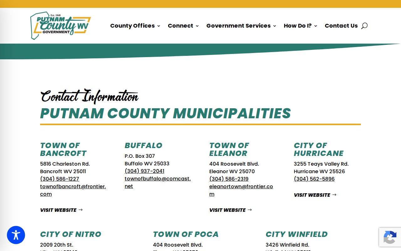
When a service or permit turns on jurisdiction, confirm boundary questions with both the city and the county.
Winfield Property Records and Local Value Evidence
No Winfield-specific sales trend or parcel value series exists for this town. A sound value review starts with the parcel's county assessment fields. From there, compare verified sales of similar properties in location, acreage, building size and condition. The statewide assessment ratio study is a group-level check. It is not a neighborhood price index. For a tax challenge, use the assessment review route. Then use evidence tied to the parcel itself. For a purchase estimate, lean on current comparable sales. Use professional valuation rather than the town's small population.
What Winfield Property Records Show and Their Limits
County records can show the assessed owner, parcel characteristics, tax amounts, appraised fields, recorded transfers and liens. City and county files may document permits, zoning review or sewer approval. Each record serves a different purpose and updates on its own schedule. A tax-roll entry does not establish clear title. A parcel map does not replace a survey. An assessed value is not an appraisal of a home's current sale price. Before relying on any result, verify the legal description and jurisdiction with the proper office.
Lawful use. Use Winfield property records for property research, transaction due diligence, tax review and civic transparency. Do not use owner information to threaten, stalk or harass anyone; West Virginia law prohibits threatening and harassing conduct.