
How to Search Nitro Property Records
Nitro spans a county line. Its property records sit in different offices depending on the parcel. Putnam County holds the records for its side. Kanawha County keeps its own. Start with WV Property Assessment and search by exact street address or owner name. Then read the county, district, map, and parcel fields on the result. A Nitro mailing address alone will not settle the question. A Putnam County result points to the County Clerk for deeds and plats. The Assessor carries the tax roll there. The Sheriff Tax Division handles bills and receipts, and county GIS adds a map view. Anything landing in Kanawha County must be routed through that county's custodians instead.
- Search the assessment portal by a full Nitro street address or owner name, then verify the county and district before using the result.
- Use the county parcel key and owner names in the Clerk's deed index to locate the latest transfer and earlier instruments.
- Compare the current assessment with the tax ticket or receipt for the correct year; the assessment owner can lag a sale.
- Open the statewide Viewer or county GIS parcel map, then check adjacent geometry and roads as orientation only.
- For city construction, code or zoning questions, use Nitro's building and planning departments; online payment alone does not establish a valid permit.
Two guides can speed the work up. The Putnam County property search guide walks through the parcel fields, and the parcel map guide shows how to match a county parcel against map layers. Near Nitro's cross-county edge, always confirm the county before digging deeper.
Where Nitro Property Records Are Kept
Each office in Putnam County holds one piece of the puzzle. The County Clerk records land instruments for parcels in its jurisdiction. The Assessor keeps ownership and appraised parcel data. The Sheriff Tax Division takes property tax payments. County GIS and the state Viewer supply the map context. This helps when a boundary is unclear. Nitro's Building Department and its Planning and Zoning Department operate separately as city offices. A parcel can cross the municipal line or fall inside Kanawha County. Treat the address as a starting point, and let the county and district data route the inquiry.
Putnam County Records (deeds, taxes, parcels)
For Putnam County parcels, land instruments, assessments, tax records and GIS are held by their respective county offices.
Nitro Neighborhoods and Subdivisions in the Records
No official list of Nitro subdivision names appears in the county's published records. Plat-era labels are likewise absent. The table below therefore uses local geography as search orientation, not invented subdivisions. A landmark or place name can still narrow an address search nicely. Recorded plats and lot descriptions, though, live in the county land records. Nitro's history includes older settlement and annexation geography. Check the clerk's instrument and the city boundary record before trusting an informal neighborhood label.
| Neighborhood / Subdivision | Era | In the Records |
|---|---|---|
| Ridenour Lake area | Development era not verified | Local landmark for orientation; confirm lot name and map with the Clerk. |
| 2009 20th Street civic area | Address reference | City building and code office contact; not a subdivision label. |
| Poca District annexation reference | 2009 annexation context | Historical geography clue; verify a parcel's current city status independently. |
When a deed points to a plat, search that exact plat name and lot. Resist the shortcut of substituting Ridenour Lake or another familiar place. A county parcel number works better. It opens the map, and it shows the parcel geometry. The legal description then leads you into recorded documents. The Putnam County parcel map page covers GIS IDs and acreage. It also explains how a map display differs from a surveyed line.
Nitro Property Records and the Two-County Boundary
Nitro sits in two counties. Putnam holds part of it, and Kanawha holds the rest. A Nitro mailing address alone therefore cannot tell you which clerk recorded the deed or which assessor keeps the tax roll. Check the county and district on any result before copying a parcel ID. A Kanawha result means Putnam County routes stop applying. Find the matching Kanawha custodian instead. City permits add another layer. Nitro's municipal boundary must be confirmed separately, because city limits and county lines are two different things.
The 25143 ZIP code is only a delivery convention. It can reach outside the city. For a purchase, boundary dispute, or permit question, compare the legal description, tax district, and city map, then request confirmation from the office with jurisdiction over that exact tract.
Putnam County's municipality list provides county-level context for local jurisdictions: view the county municipality roster.
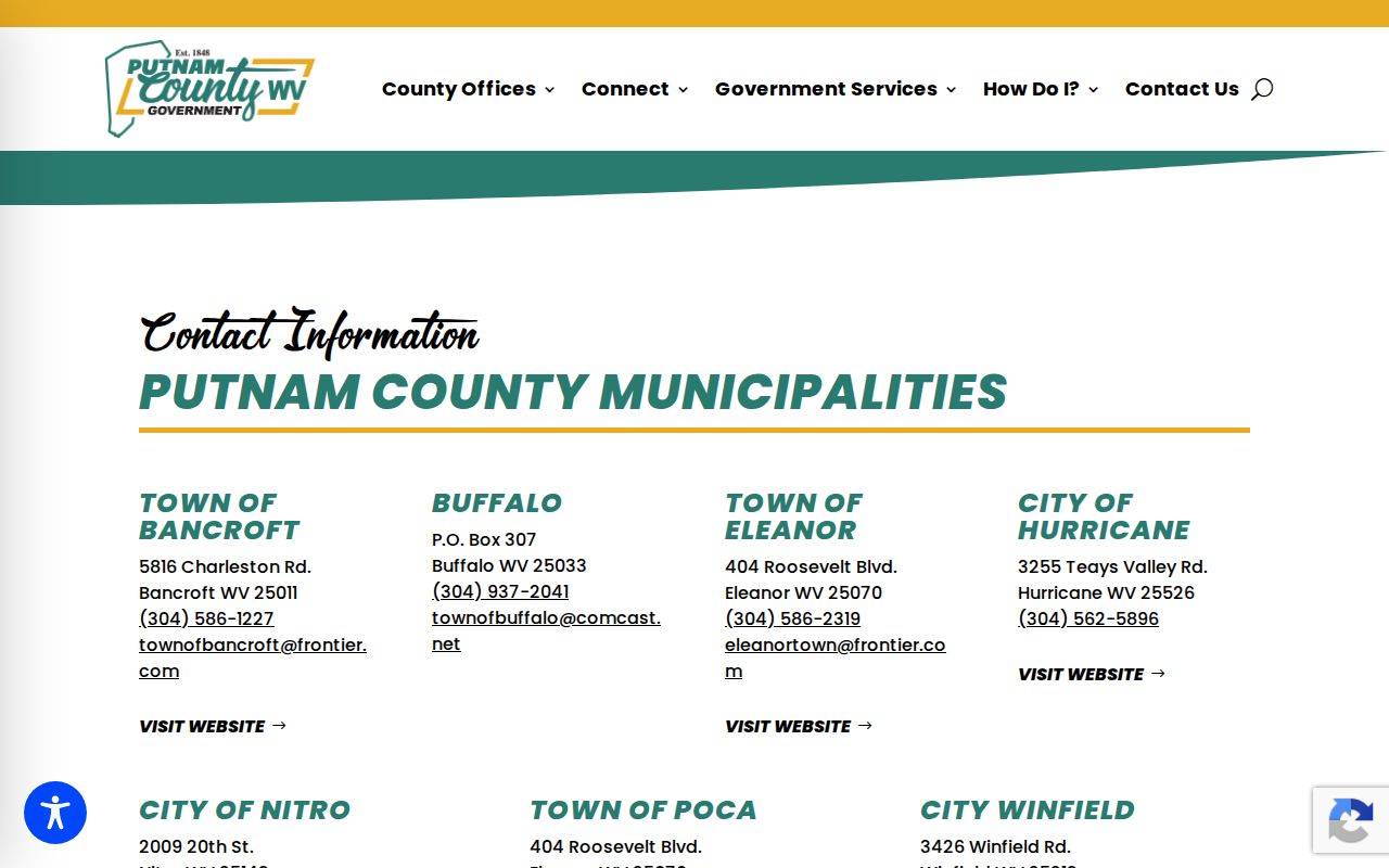
Verify the true county and city jurisdiction for the parcel before trusting the roster.
Nitro Property Records and the 2009 Annexation Clue
A 2009 Nitro annexation reference appears with Poca District. That clue helps. An older deed may use a district or place description that no longer matches the modern mailing address. The date alone proves little. It does not pull every nearby parcel into the city limits. Only the final ordinance and legal description settle it. Pull deeds from both sides of the date. Then compare the tax district and any city boundary record for that same parcel. This gap explains the mismatch. A historic map or deed says Poca while a current owner statement says Nitro. Keep the older wording in your search rather than normalizing it away.
Nitro Property Records Near Ridenour Lake
Nitro counted 6,624 residents in the 2020 Census. That figure describes the incorporated city, not the wider postal area that shares its name. It also says nothing about parcel counts or local values. Ridenour Lake works well as a landmark. It helps orient an address on a map during a property search. Treat it as a clue, though, not a subdivision of record. The assessor's district, map, and parcel fields still do the real identifying in Putnam County property records. When a nearby deed cites a plat, pull that recorded plat. Lakes and neighborhood names never replace the lot and block references written into the instrument.
The Census source helps distinguish Nitro as an incorporated place in population tables: view West Virginia incorporated-place data.
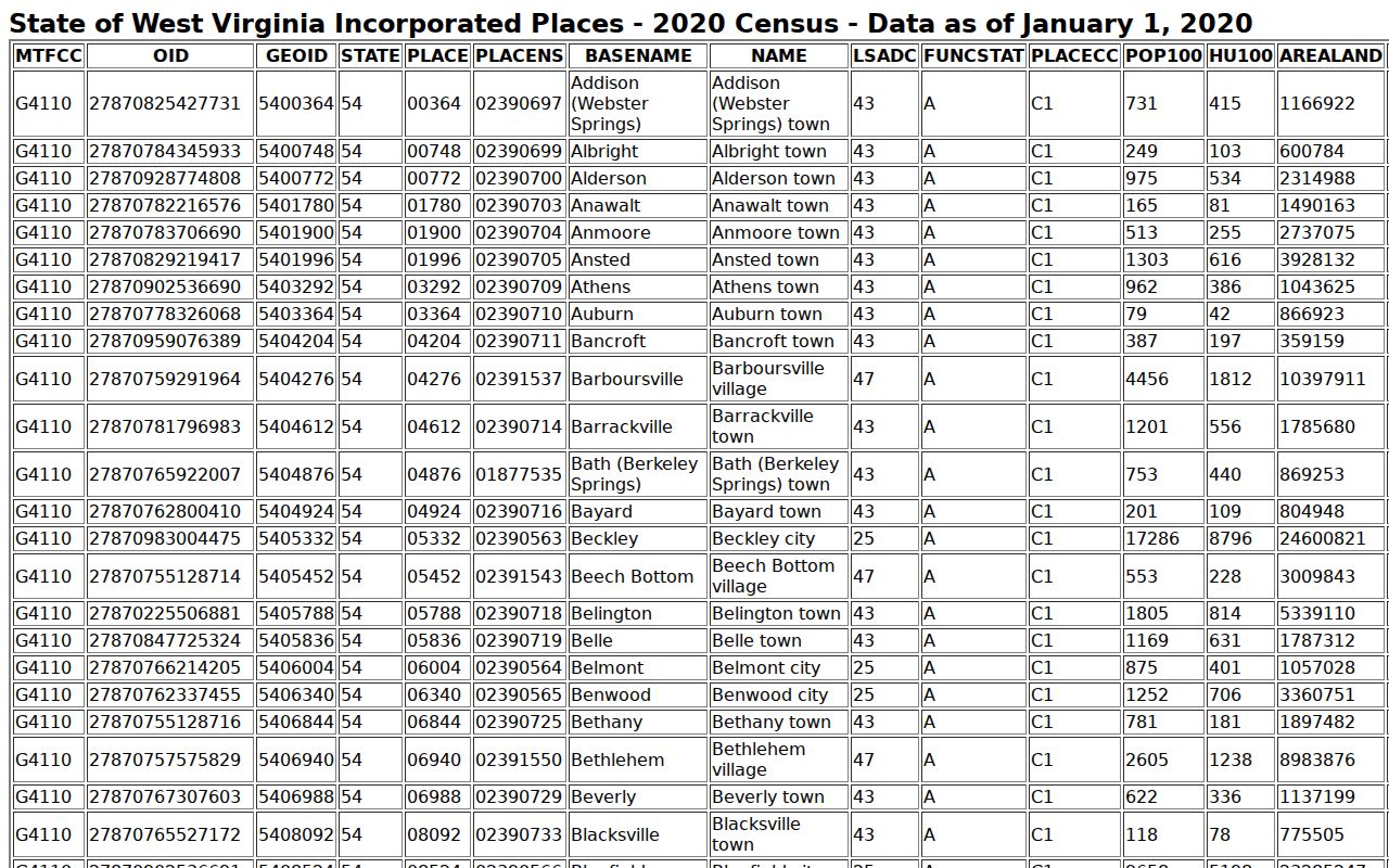
To place a parcel correctly, rely on the boundary data and city limits shown in parcel records rather than the population table.
Nitro Property Records and Building Permits
Nitro's Building Department and Code Enforcement page carries the city's permit route. It includes applications and fees. It is separate from the Putnam County assessment database. Paying a permit fee alone does not make a permit valid. The application must be complete and accepted under city requirements. Ask the city to confirm status. The city can also confirm required inspections and final approval for a specific address or parcel. The city offers no public permit-history search by street address.
For older improvements, ask for a records search by work type and approximate year. An empty online result does not prove a permit never existed. Files may sit in another format or be indexed by applicant name instead.
Nitro describes its building and code process here: open the Nitro Building Department and Code Enforcement page.
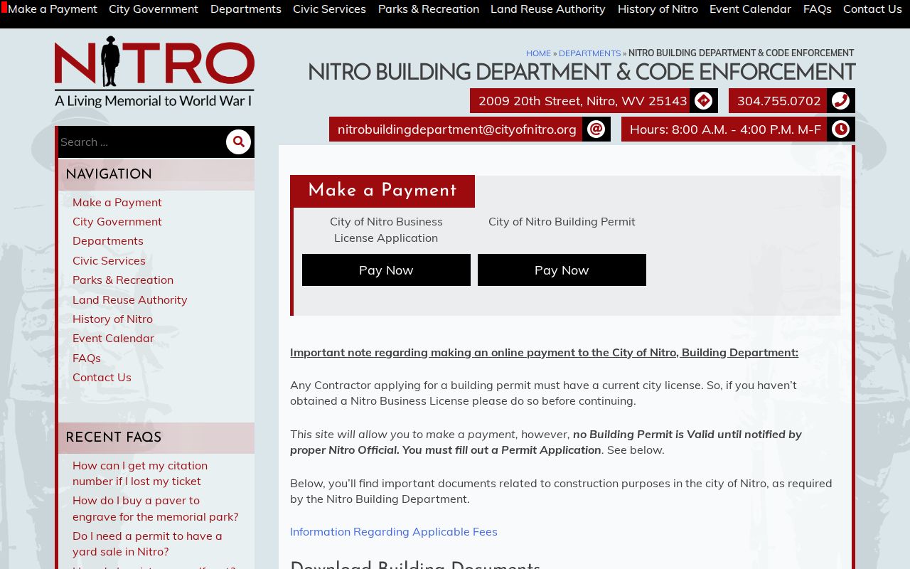
Ask the department to search historical files by address, parcel, project type, and approximate work date.
Nitro Property Records and Planning Decisions
Nitro Planning and Zoning materials draw a clear line between conditional uses and variances. A conditional use is one the zoning rules allow only under stated conditions. A variance seeks relief from a specific requirement. The distinction shapes which application and findings to request. For any parcel, ask for the agenda, application, staff review, notice, hearing record, and final decision. Ask for these items separately. Then check whether an appeal followed. A meeting notice or submitted form never proves approval on its own.
A variance appeal form carries a $100 fee. Fees and forms change, so confirm current filing instructions with the planning office. Always include the parcel key and legal description. That helps staff separate adjacent properties in the property records.
The city's planning page explains its zoning and review forms: view Nitro Planning and Zoning.
Confirm any planning decision with the city before treating it as final, and check whether an appeal reversed it.
Nitro Property Records and Parcel Map Context
State and county map viewers lay out parcel geometry. Nearby streets, aerial photos, and flood layers come with it. A screen map is only for orientation. It never sets a legal boundary. Putnam parcel identifiers knit together a county, district, map, parcel prefix, suffix, and special ID. A GIS display can drop one of those pieces. Before pulling a deed or asking staff to trace a tract, confirm the exact key the assessor shows. Kanawha County parcels belong in that county's own map and deed records, not Putnam's.
Nitro Property Records and Assessed Value
The assessor's land, building, and total appraisal columns are tax values. They are not a broker price opinion or a promised sale price. West Virginia generally assesses at 60 percent of fair market value. It may also use a legislatively determined value. A ratio study checks a sample of sales against assessments. Neither a countywide ratio nor another Nitro parcel's total reveals what one house would fetch. Read the sale deed, the parcel characteristics, the physical condition, and the tax roll together. One timing quirk matters. Ownership that changed after the July 1 assessment date may still show the prior owner for the current cycle.
What Nitro Property Records Show and Their Limits
Putnam County assessment and Clerk records can name the tax-roll owner. They also list parcel characteristics and assessed values. These records document recorded transfers and encumbrances. Nitro files may also hold a permit, zoning request, or code action. The limits are real. These sources cannot prove clear title, a physical boundary, permitted work, or today's market price. A ZIP code does not mark an incorporated-place boundary either. Confirm jurisdiction with the correct county and city offices. Lean on a title professional or licensed surveyor when a conclusion needs a title chain or a surveyed measurement.
Lawful use. Use Nitro property records for property research, transaction diligence, tax review and civic transparency. Do not use owner information to threaten, stalk or harass anyone; West Virginia law prohibits threatening and harassing conduct.